Samuel H Boardman State Scenic Corridor
Twelve miles of southern Oregon coast with thirteen pullouts worth stopping for: sea arches, hidden beaches, the highest bridge in Oregon, and one of the great sunset stretches on the Pacific.
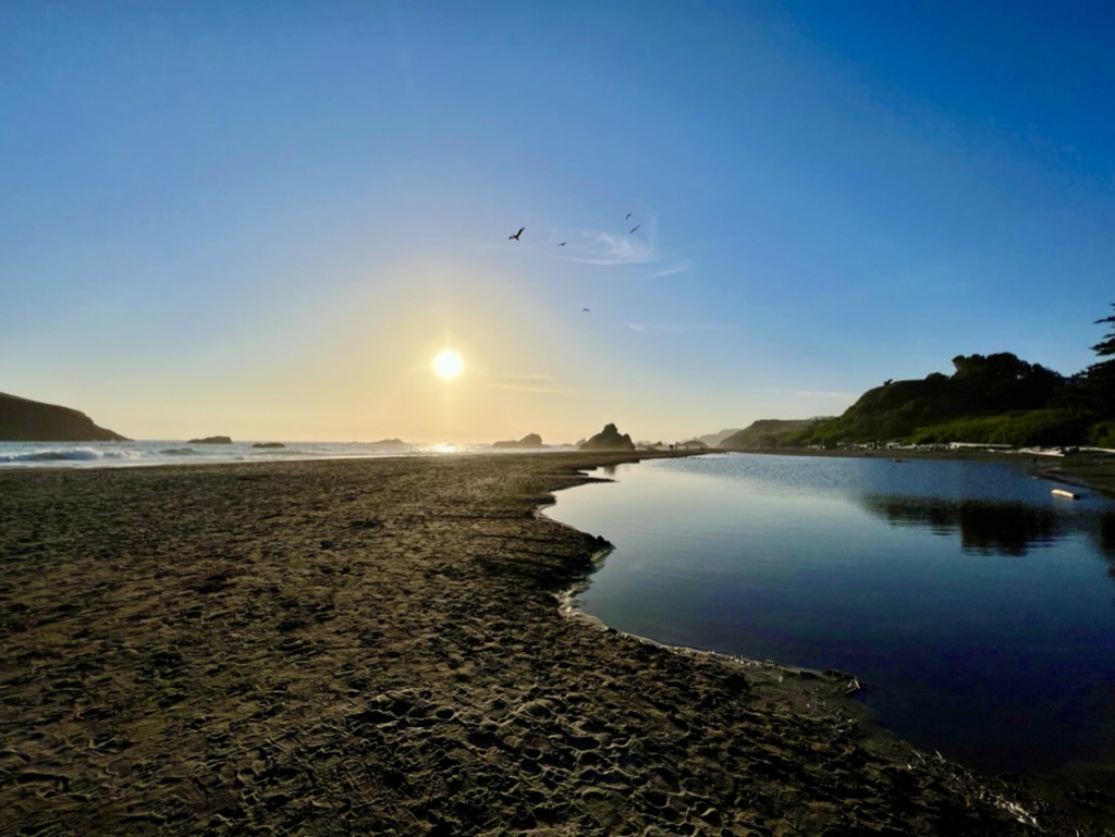
The Samuel H Boardman State Scenic Corridor is a 12-mile stretch of southern Oregon coastline between Brookings and Pistol River, free to enter year-round, with 13 worthwhile stops along US-101. It is the most photographed stretch of the Oregon Coast for a reason. In those twelve miles, the road links a chain of sea arches, sandstone bluffs, hidden beaches, and clifftop viewpoints that would each be the headline attraction in most state parks. Here, they are stops on the same road trip.
This guide walks the corridor north to south, starting at Arch Rock and finishing in Brookings. Most stops are short walks from a paved pullout. A handful are real hikes that deserve a couple of hours each. Plan on a full day if you want to do it justice. Plan on coming back if you actually want to see all of it in good light.
Who was Samuel H Boardman?
Samuel H Boardman was the first superintendent of the Oregon State Parks system, hired in 1929 and credited with building the foundation of what is now one of the largest state park networks in the country. The corridor that bears his name was assembled piece by piece during his tenure, starting in 1949. His goal was to keep this stretch of coastline in public hands before it could be subdivided for vacation homes. He retired in 1950 and the corridor was named for him in 1967.
Samuel H Boardman map
All 13 stops pinned on a single map, in the order this guide covers them. Tap a marker for the stop name, then jump to its entry below for the full breakdown.
All 13 corridor stops, mapped. Powered by Google My Maps.
Best 1-day itinerary, three ways
Pick the plan that matches your time and your light. The corridor faces directly west, so afternoon and evening light hits the sea arches and viewpoints from the front. Mornings get softer side-light and dramatically fewer crowds. Times below assume a starting point in Brookings or Gold Beach.
Sunrise to noon
5 hours · Best for crowds-free photography and trail solitude
- 6:30 a.m. Arch Rock for first light over the sea stacks
- 7:30 a.m. Natural Bridges before the tour buses arrive
- 9:00 a.m. Indian Sands loop in the calm-air window
- 11:00 a.m. Whaleshead for whale watching in winter and spring
- Noon Lunch in Brookings or push to Harris Beach
Noon to sunset
6 hours · Best for sunset photography and warm front-lit cliffs
- Noon Harris Beach for tide pools at low tide
- 2:00 p.m. Cape Ferrelo wildflower walk
- 3:30 p.m. House Rock and Whaleshead viewpoints
- 5:00 p.m. Secret Beach descent, leave time to climb back
- Sunset Natural Bridges with sun lighting through the arches
Sunrise to sunset
10 hours · The unhurried corridor, every trail and every viewpoint
- Sunrise Arch Rock and Natural Bridges
- 9:00 a.m. Indian Sands loop, 90 minutes round trip
- 11:00 a.m. Thomas Creek Bridge and southern viewpoints
- 1:00 p.m. Lunch at Lone Ranch Beach
- 3:00 p.m. Secret Beach descent and beach time
- 5:00 p.m. Harris Beach tide pools
- Sunset Back to Natural Bridges or Cape Ferrelo
All 13 stops, north to south
 01
Viewpoint
01
Viewpoint
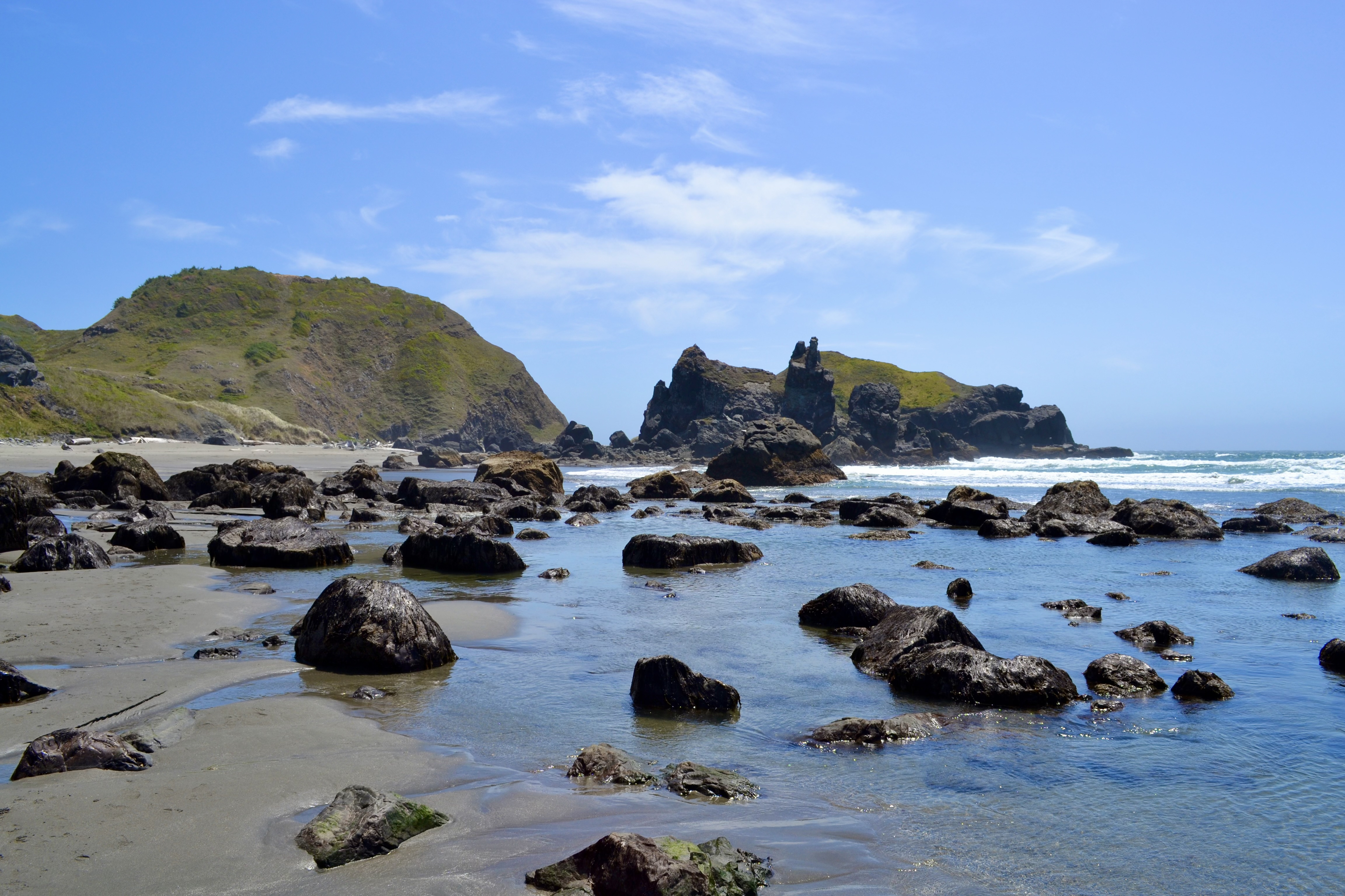
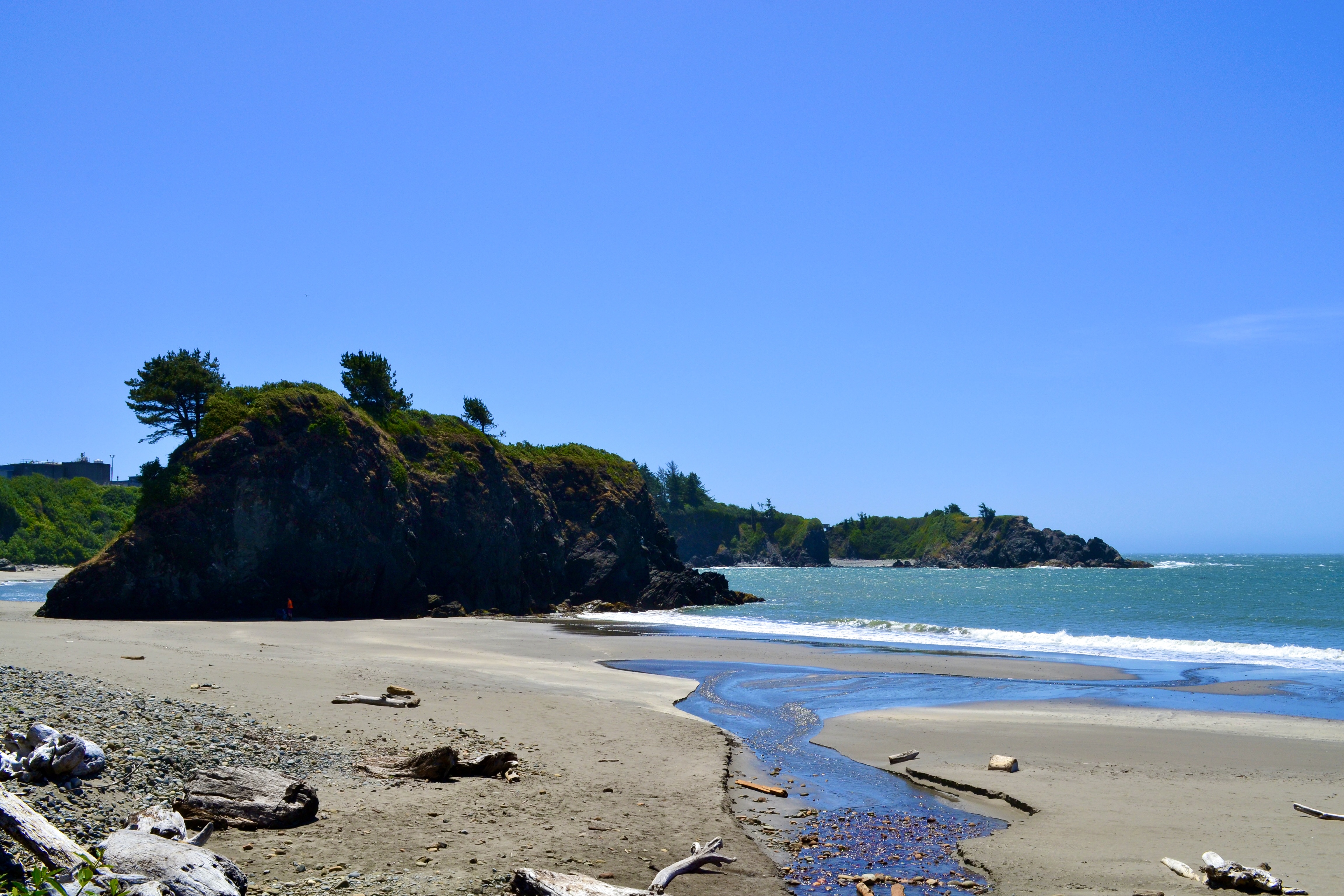
Arch Rock State Park
The first stop driving south from Pistol River, and a good warm-up for what’s coming. A short paved path from the parking area leads to a clifftop viewpoint over a cluster of sea stacks and offshore islands. The namesake arch is visible to the north on calm days. Restrooms and picnic tables on site, which makes this an easy first or last stop on the corridor.
 02
Trail
02
Trail
Natural Bridges
The most photographed stop on the corridor, and the one most visitors come for. A short out-and-back trail leads to an overlook above twin sea arches that frame the Pacific. The arches were carved by centuries of wave action through the headland. The viewpoint sits on a cliff edge with no railing, so keep kids close.
 03
Trail
03
Trail
Secret Beach Trailhead
The trail drops through forest, crosses a small creek, and ends at a hidden beach ringed by sea stacks. A small waterfall flows directly onto the sand at the north end when conditions are right. The descent is short but rocky in places, and the route is unsigned at one junction, so it earns its name. Worth the effort if you have a real hour to spend rather than a quick stop.
 04
Bridge
04
Bridge
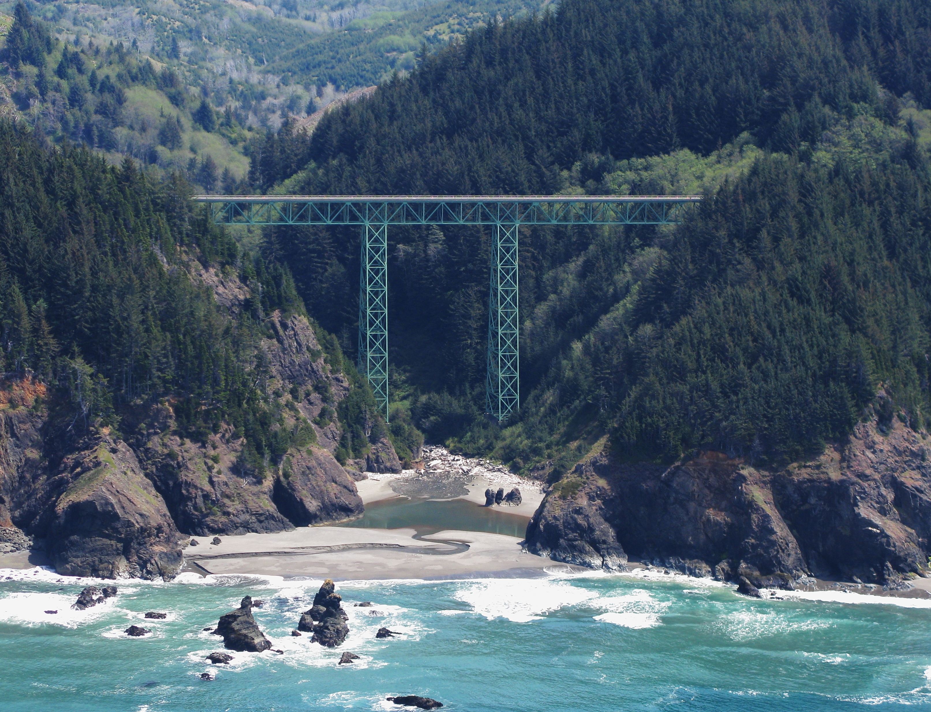
Thomas Creek Bridge
You cross the Thomas Creek Bridge whether you stop or not, and most drivers do not realize they are 345 feet over a creek bed when they do. Two small unmarked pullouts on either side of the bridge let you walk back to a viewpoint that frames the steel arch against the canyon below. Quick stop, big payoff.
 05
Trail
05
Trail
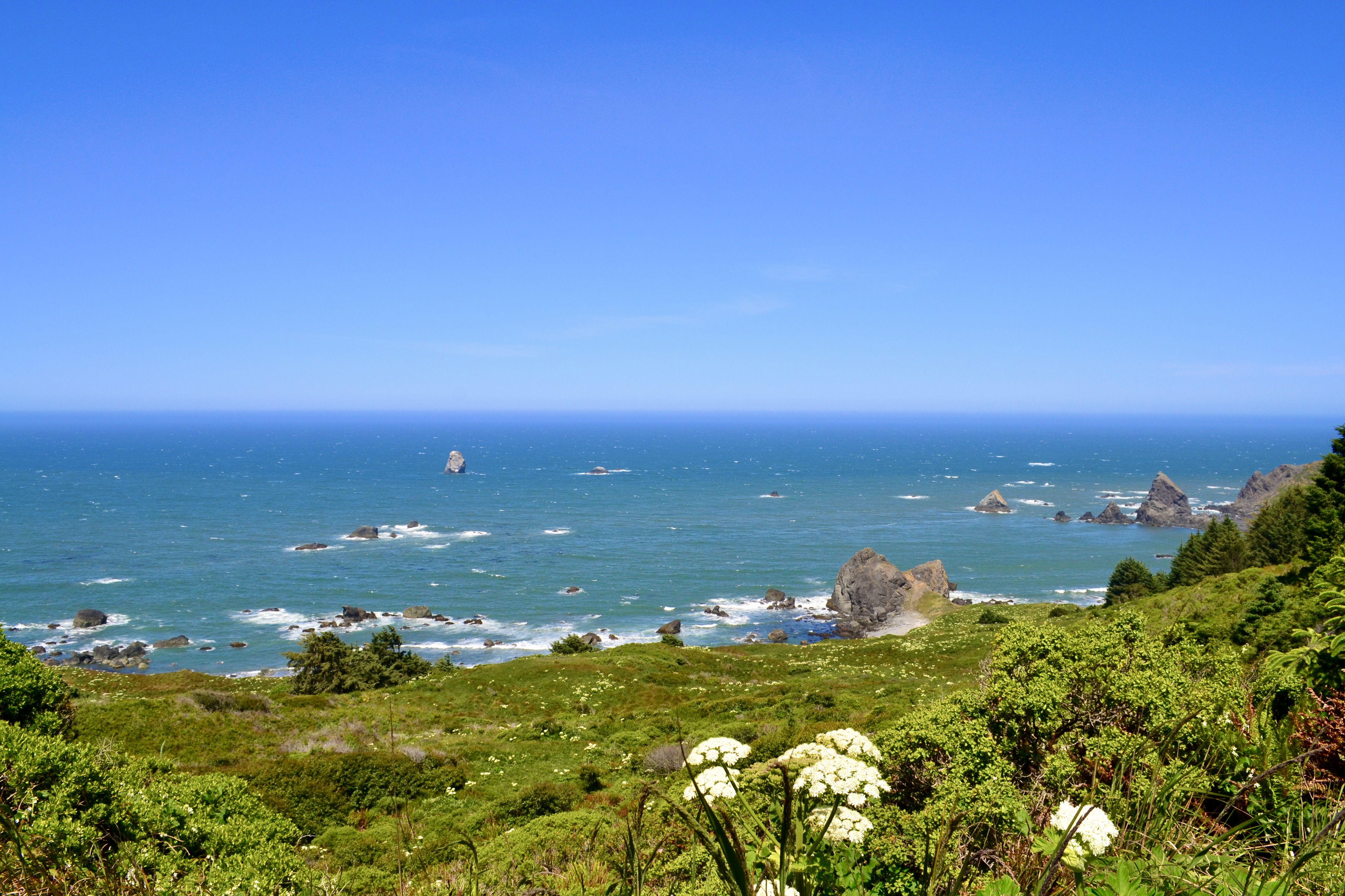
Indian Sands Trail
This trail does not look like the rest of the corridor. The path opens onto an open expanse of wind-sculpted sandstone that feels closer to high desert than coastal forest, then circles back through low coastal pine. Panoramic ocean views the entire way. The footing on the sandstone is loose, so wear shoes with grip.
 06
Viewpoint
06
Viewpoint
House Rock Viewpoint
One of the easiest big-payoff stops on the corridor. A short trail from the parking area lands you at a clifftop viewpoint with panoramic ocean views, dramatic offshore rocks, and the sound of waves hitting the cliffs below. Worth ten minutes even if you are pressed for time.
 07
Viewpoint
07
Viewpoint
Whaleshead Viewpoint
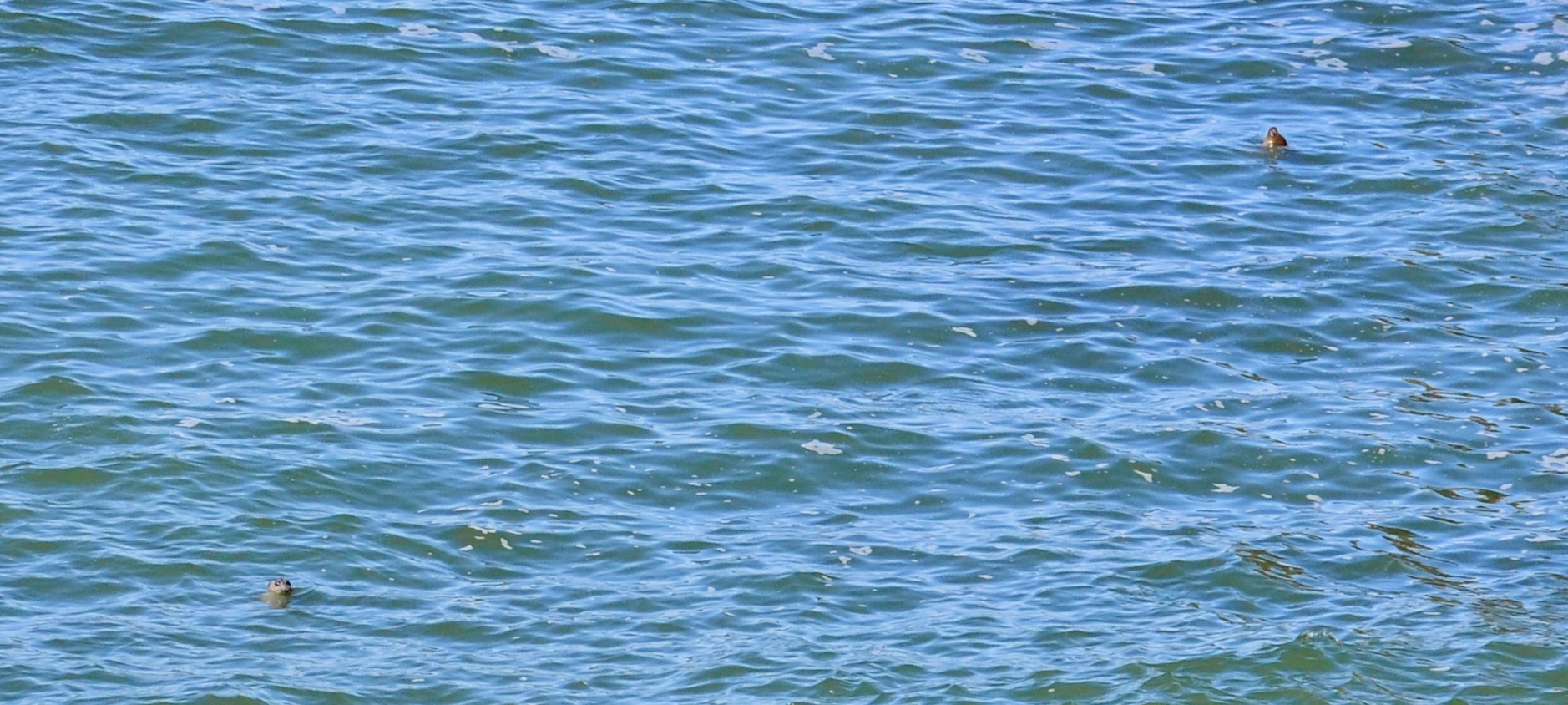
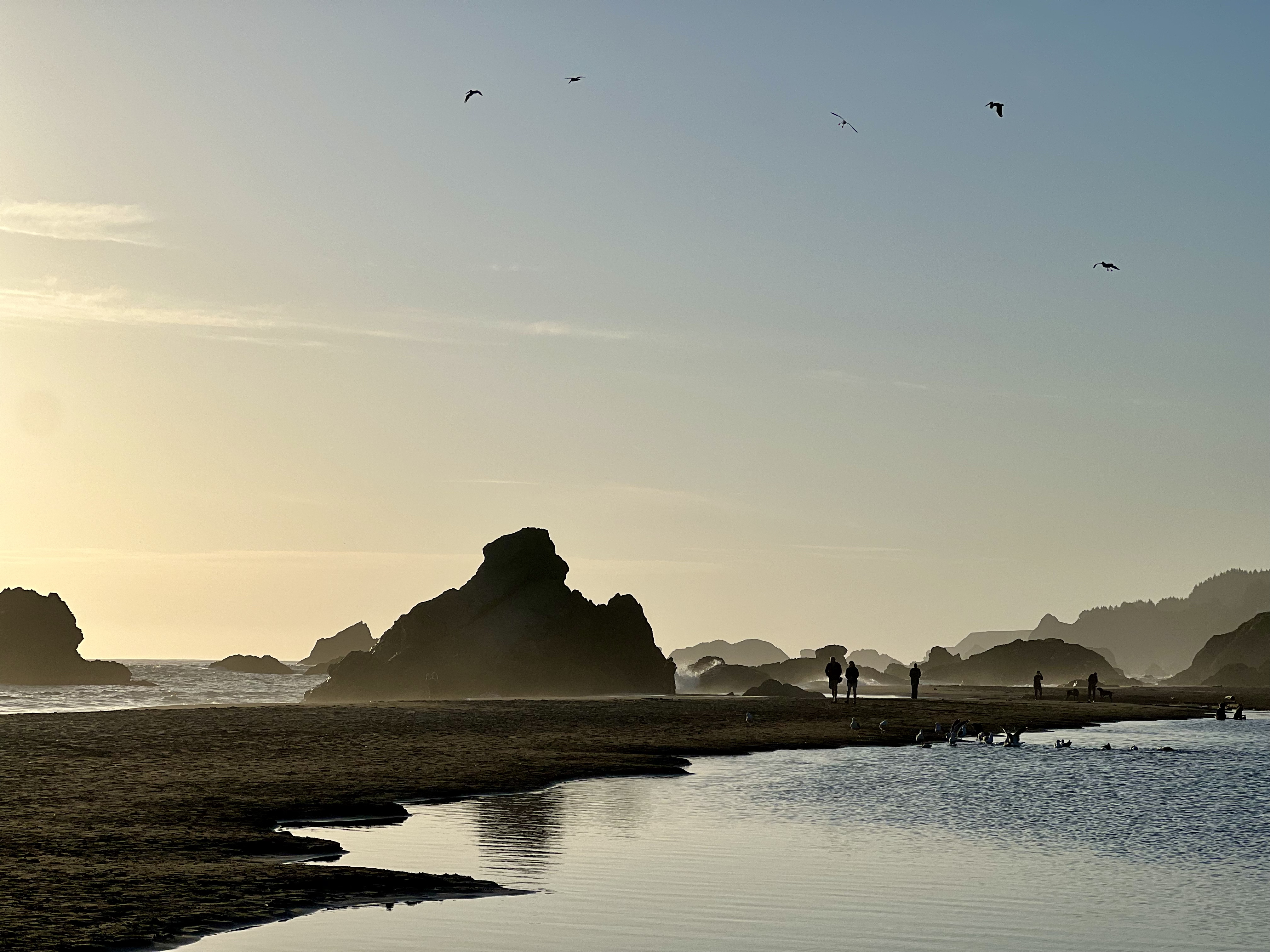
Named for an offshore rock that resembles a breaching whale, especially in the right light. The viewpoint sits above a curving beach with cliffs on either side, and the angle here makes it one of the best whale-watching spots on the entire Oregon Coast during winter and spring migrations. A trail also drops to the beach below if you have time for the descent.
 08
Viewpoint
08
Viewpoint
Cape Ferrelo Viewpoint
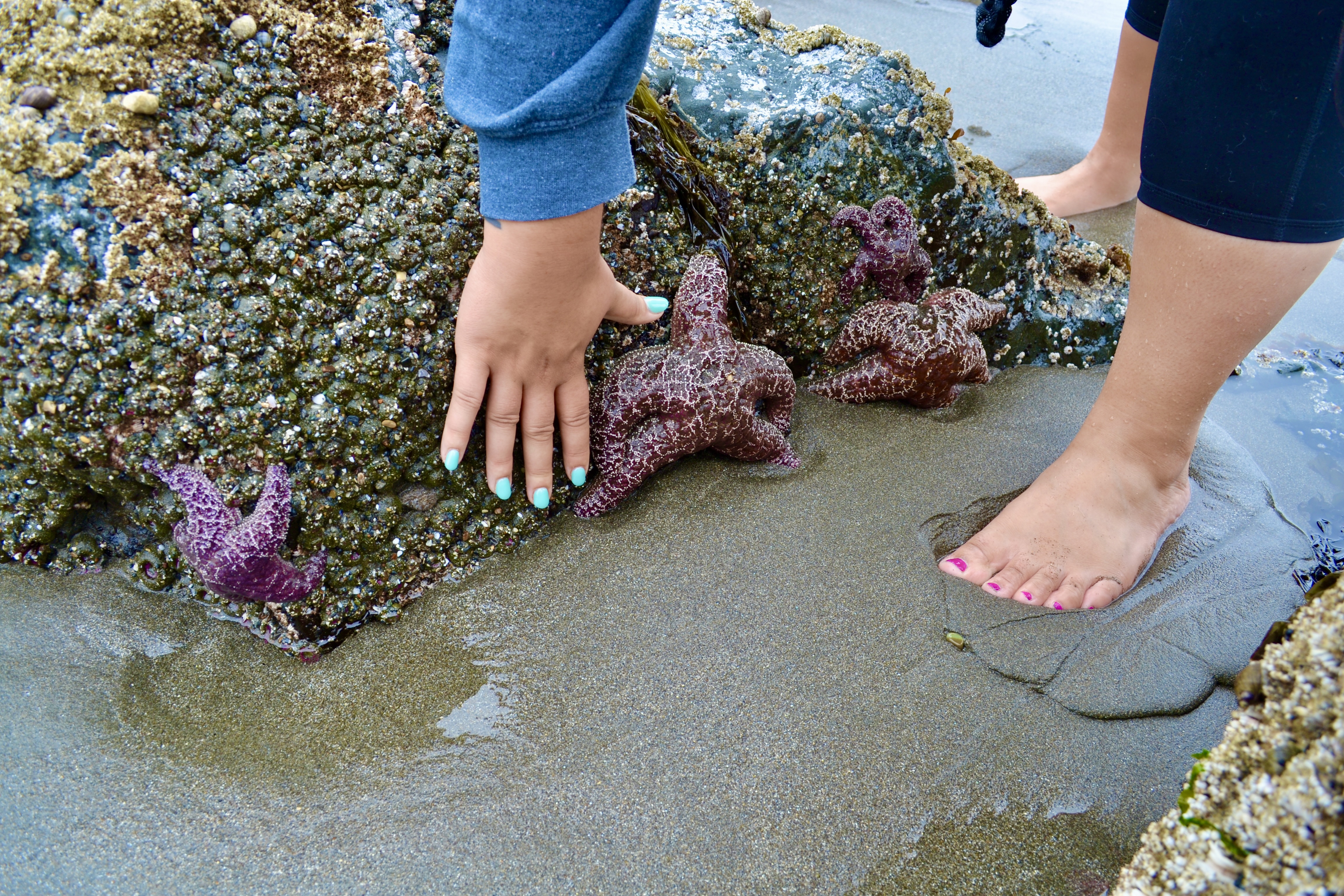
A short trail through an open meadow that drops toward the sea, with a payoff view at the headland. June and July are peak wildflower season here, when the meadow turns purple, white, and yellow. Optional spur paths down to the rocks below give you tidepool access at low tide.
 09
Beach
09
Beach
Lone Ranch Beach
The official south end of the corridor. Wide sandy beach, gentle waves, easy parking, and noticeably fewer crowds than Harris Beach a mile south. Restroom on site. Good place to actually sit on the sand for a while rather than just take a photo and move on.
 10
Viewpoint
10
Viewpoint
Rainbow Rock Viewpoint
A roadside pullout just south of the official corridor, with a clear view of the multi-colored sea stack the spot is named for. The stack shows iron-rich orange, white, and gray bands from the cliff erosion. Short walk from the parking area, no real trail required.
 11
Beach
11
Beach
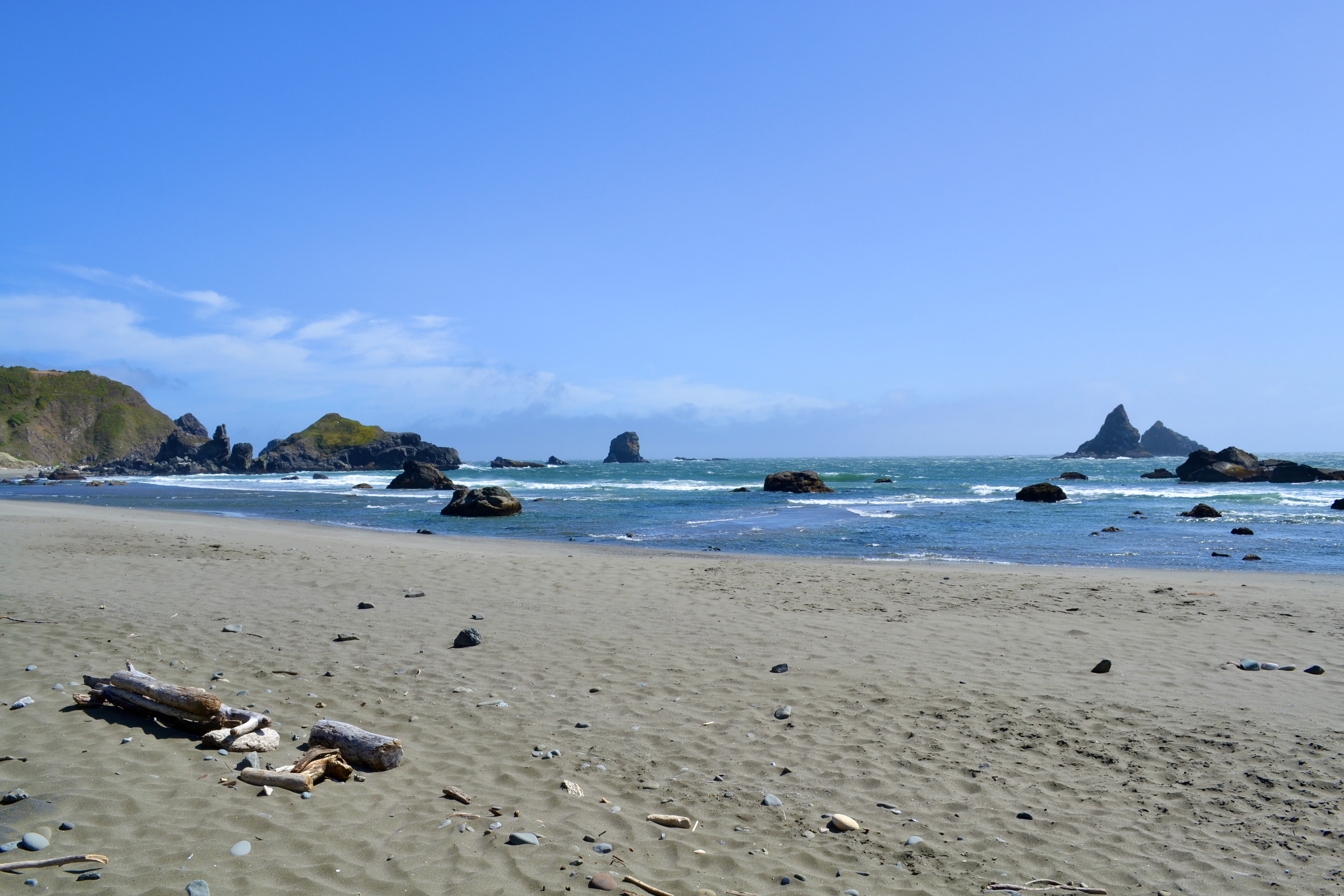
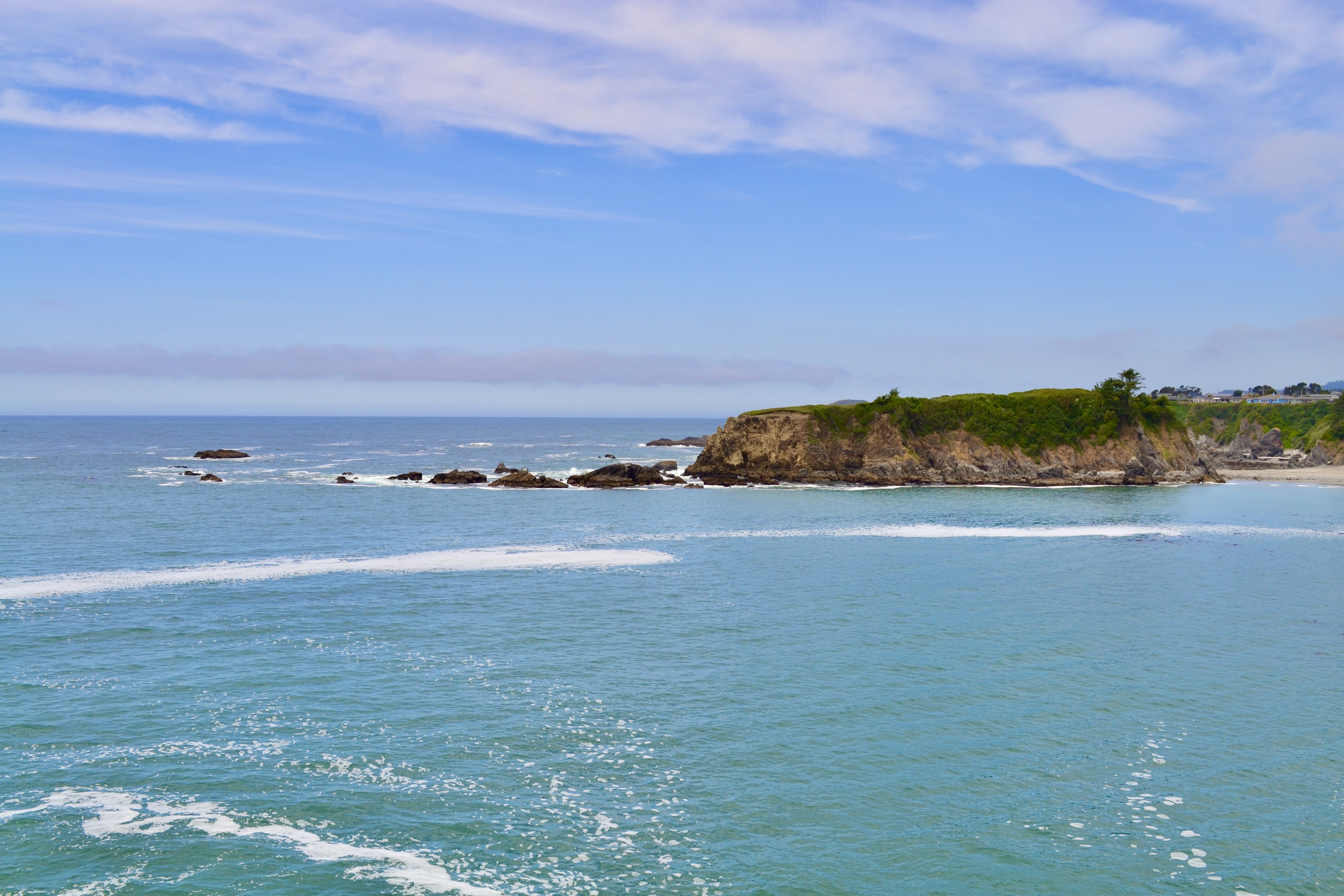
Harris Beach State Park
The full-facility stop on this list. Wide beach, dramatic sea stacks (Goat Island offshore is the largest island on the Oregon Coast), excellent tide pools at low tide, restrooms, picnic shelters, and a full state park campground. This is where families settle in for half a day, and where most road trippers spend the night before driving the corridor north.

 12
Beach
12
Beach
Mill Beach
Smaller and more private than the others, with sea stacks on either side that block most of the wind. Chetco Point is on the left, a smaller formation closes in on the right, and the beach itself faces directly out at the Pacific. The pick on a windy day, when the rest of the coast is being sandblasted.


 13
Trail
13
Trail
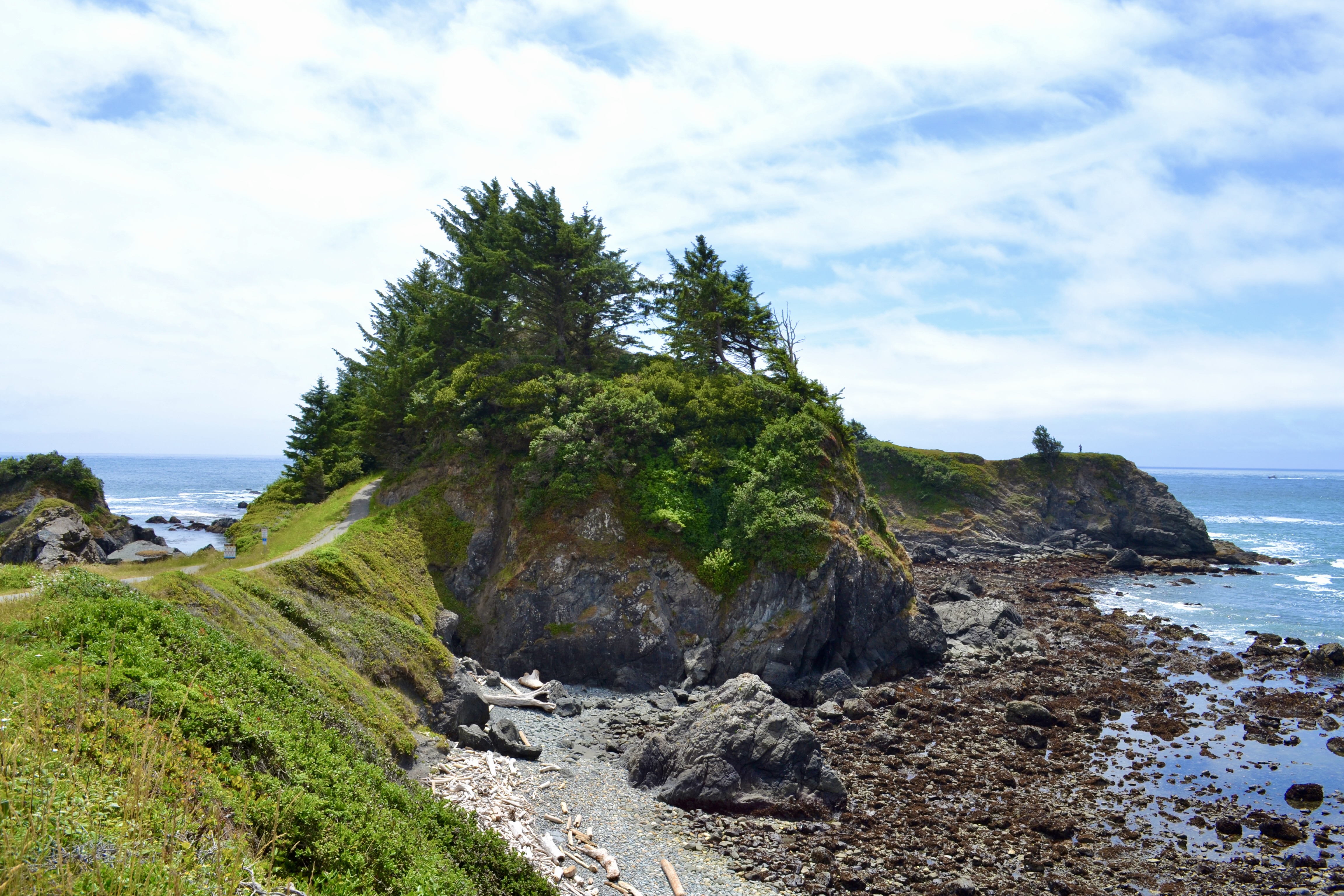
Chetco Point Park
A paved path winds out to the headland at Chetco Point with ocean views the whole way. The trail is short and accessible, the headland itself is a great whale-watching perch in winter and spring, and the park is a favorite among local dog walkers. Closes the corridor road trip on a low-key high note.

What to bring on the corridor
The pack list actually matters here
The corridor is exposed, the wind is real, and the trails on this list include narrow cliff sections with no railings. Sturdy shoes, a windproof shell, and water are non-negotiable. A small daypack covers the rest. Tested gear roundups for each piece below.
More to do near the corridor
The corridor pairs well with a stop in Brookings and the rest of the southern Oregon Coast. Four reader-favorite extensions to the trip.
Brookings
7ish things to do in Brookings
Where to stay, where to walk, and what to do once you’re off the corridor and in town.
Oregon Coast
Cascade Head Trail
A coastal headland with meadow summit views over the Salmon River estuary, three hours north.
Oregon Coast
Cape Lookout Trail
5-mile out-and-back along a ridge that ends with cliff-top ocean views. Dog-friendly on leash.
Oregon Coast
God’s Thumb Hike
A 4-mile bucket list hike to a rock outcrop above Lincoln City, with a meadow finish.
Frequently asked questions
How much does it cost to visit Samuel H Boardman State Scenic Corridor?
What is there to do at Samuel H Boardman State Park?
Where is Arch Rock in Oregon?
How long does it take to drive the Samuel H Boardman corridor?
What is the best stop on the Samuel H Boardman corridor?
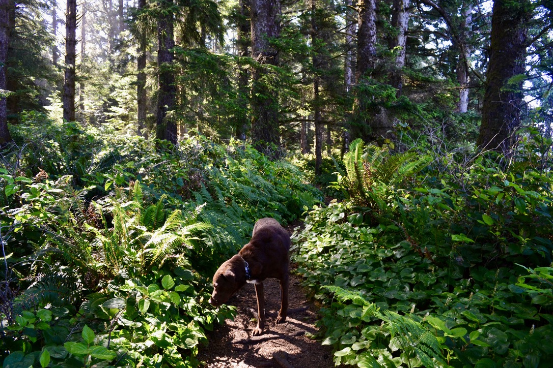
Are dogs allowed at Samuel H Boardman?
When is the best time to visit Samuel H Boardman?
Last updated May 2026 · Conditions and access change. Check Oregon State Parks before you head out.